
Caldwell ZIP Directory Coverage
Official USPS scheme material lists 83605 through 83607 under Caldwell, Idaho. Current city and county addresses clearly confirm 83605 and 83607 in active use. The unattended official-source review did not find a current local street example, station name, or exact boundary for 83606. That gap is important. A ZIP code directory should not turn an old scheme list into a claim about today's city limits.
| ZIP | Caldwell-Area Evidence | Post Office | Notes |
|---|---|---|---|
| 83605 | Central Caldwell; City Hall, library, county and assessor offices | USPS Connect site at 823 Arthur Street | Strong current central-city use |
| 83606 | Included in the official Caldwell 83605-83607 scheme | Current station not found in official sources | Verify every address with USPS |
| 83607 | Elections office, parks, greenbelt, outer and rural Caldwell examples | Current station not found in official sources | Can extend beyond the intuitive downtown area |
The Caldwell language-access plan analyzes 83605 and 83607 ACS areas, while the USPS scheme also includes 83606. Those are different tools. Census ZIP Code Tabulation Areas approximate statistics; USPS ZIPs route mail. Neither one, by itself, decides city jurisdiction or who lives at a parcel.
83605 Caldwell Records Core
ZIP 83605 appears across central public offices. Caldwell City Hall at 205 South 6th Avenue, Caldwell Public Library at 1010 Dearborn Street, and Canyon County offices at 111 North 11th Avenue all use it. USPS also identifies a Caldwell Connect location at 823 Arthur Street. These official examples make 83605 the best documented central postal area in the research.
That does not make every 83605 parcel part of the incorporated city. Use USPS ZIP Code Lookup for the mail label, then use City Mapping or Canyon County GIS for the government boundary. When the goal is a resident record, search the parcel address rather than assuming that every name can be browsed as a ZIP-wide list.
83607 Caldwell Area Clues
ZIP 83607 appears at the Canyon County Elections office on Graye Lane and in city sources for parks, greenbelt, land use, and outer Caldwell locations. It can include addresses beyond the downtown footprint and near the city-impact or unincorporated boundary. A Caldwell postal city name can therefore point to a county office for permits or addressing.
Current Elections operations use 5815 Graye Lane. A 2025 county update clarified the address wording without changing operations. That small change shows why a current ZIP check matters. Save the standardized address returned by USPS, including directional and suffix forms, before comparing a voter location, parcel, or permit record.
Verify 83606 Caldwell Addresses
The official USPS scheme places 83606 within the Caldwell ZIP set, but the research did not expose a current local official street, station, PO-box classification, or boundary for it. No safe claim can be made that every use belongs inside Caldwell, outside it, or to one postal facility. Enter the full address in USPS by-address mode.
If all you have is 83606, use the USPS ZIP-to-city mode only as a first check. Ask postal customer service for a delivery question that the public screen cannot settle. Then turn to the Assessor, City Mapping, or County DSD with the street or parcel. This cautious gap is more useful than a guessed neighborhood label.
Check Caldwell ZIPs With USPS
USPS provides three relevant search paths: exact address, city and state, and ZIP-to-city. The by-address result is the strongest choice for one parcel because it standardizes the street line and returns the current delivery ZIP. The city/state mode shows ZIPs associated with a place, while the reverse mode reports the city naming tied to a ZIP.
| USPS Mode | Input | Best Use |
|---|---|---|
| By address | Street, city, state | Standardize one Caldwell mailing address |
| By city and state | Caldwell, Idaho | Review the current postal set |
| ZIP to city | Five-digit ZIP | Check accepted postal city naming |
| AIS Viewer | Current address data tools | Technical address and ZIP verification |
The USPS lookup screen is the public starting point.
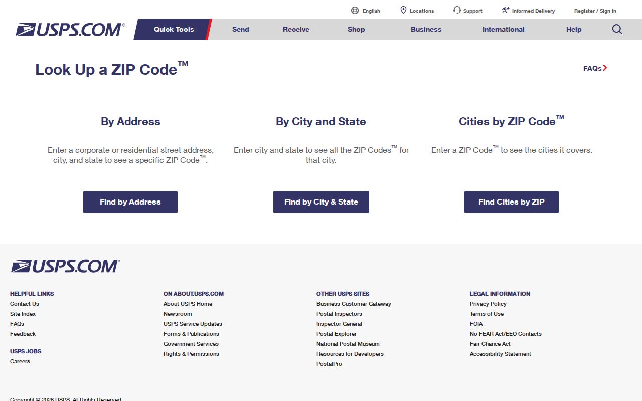
A standardized result confirms postal formatting. USPS warns that it does not confirm that a person or business is at the address.
The USPS AIS Viewer describes current address and ZIP retrieval with monthly updates.
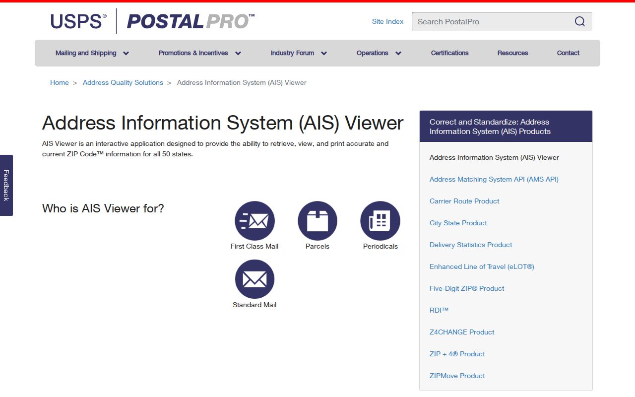
Monthly postal updates are another reason to verify a current address instead of relying on a saved list or an old directory.
Find Caldwell Residents by ZIP
A ZIP narrows geography, but Caldwell's official portals are mostly keyed to a person, street, parcel, precinct, or map point. The Assessor guest screen exposes parcel ID and property address, not a verified ZIP-wide filter. Registered advanced criteria add owner and legal description, but no public ZIP browse was confirmed. County GIS is spatial, and the voter tools focus on an individual or polling address.
- Standardize the full address through USPS and save its ZIP.
- Open the Canyon County Assessor and search the street address or parcel ID.
- Check City Mapping and County GIS to decide whether Caldwell or County DSD has jurisdiction.
- Use the exact name or address in the relevant voter, court, deed, or permit system.
- Request a precise geographic extract only when Idaho law and the custodian permit it.
For a whole street after the ZIP is narrowed, use the Caldwell street directory workflow. It explains the address and deed chain without pretending the ZIP itself is a resident roster.
Caldwell ZIPs Versus City Limits
Postal service, incorporated limits, and county parcels serve different purposes. A map point outside Caldwell can still use Caldwell as its postal city. A parcel near the impact area may need County DSD rather than City Planning for a permit. Check three facts: the USPS standardized ZIP, the Caldwell city or impact-area boundary, and the Canyon County Assessor's situs and legal description.
- ZIP code
- A five-digit postal delivery area, not a city boundary.
- ZIP+4
- An added four digits that narrow delivery to a segment, box group, or other unit.
- PO-box ZIP
- A ZIP assigned chiefly to post-office boxes; no such Caldwell classification was verified.
- Unique ZIP
- A ZIP assigned to one high-volume organization; none was verified for Caldwell.
- Carrier route
- A postal delivery path that can cross neighborhood or government lines.
Boundary check. A Caldwell mailing label does not prove city jurisdiction, parcel ownership, or current occupancy.
Caldwell Parcel Geography Wins
When ZIP lines shift or an address is unclear, the parcel and legal description are the stable bridge. Canyon County parcel IDs display a ten-digit pattern ending with a letter or space plus a number. Copy the full format. A legal description may name the subdivision, block, lot, easement, parcel, or metes-and-bounds boundaries.
Plats and surveys connect that text to a street and block. The Assessor supplies situs, mailing, ownership, and last-transfer context, while the Recorder holds the deed and plat record. GIS helps view the shape and nearby layers, but the county warns that assessment mapping is not a legal survey. Confirm title and boundaries in the official records.
Older Caldwell Addresses Lack ZIPs
Historical Caldwell research often works by street, block, rural route, subdivision, or town and county label rather than ZIP. The city began as an 1883 railroad townsite. Its historic core followed a railroad-oriented grid, with blocks described in official guidelines as about 300 by 256 feet, 16-foot alleys, and 80-foot street rights-of-way.
Use the 1961 official city map, Sanborn sheets, plats, deeds, telephone books, and the State Historical Society's 1925 through 1972 directory reels when an old address will not match a present ZIP code directory. Preserve the printed spelling and abbreviations. City Mapping, County road-name tables, the library, archives, and Recorder counter provide the fallback chain when no online match exists.
Note: No official Caldwell ZIP split or citywide street-renumbering year was found, so none should be inferred.