
Caldwell Neighbor Records by Source
Each official source describes a different part of a Caldwell block. The map establishes which parcels are adjacent. The assessor connects a parcel to an owner or entity. Deeds and plats explain recorded title and lot geometry. Voter data has tighter access and use rules, while planning files show dated civic participation rather than a standing resident roster.
| Block source | What it can establish | How to reach it |
|---|---|---|
| Canyon County GIS | Parcel shapes, nearby lots, city boundary, zoning context | Online viewer, GIS office, or records request |
| Assessor parcel card | Owner, situs and mailing clues, parcel ID, last transfer | PublicAccessNow guest or free account |
| Recorder deeds and plats | Recorded parties, legal descriptions, subdivision and lot lines | Recorder Search, counter, or copy request |
| Voter records | Limited registration and precinct information | Individual lookup or lawful file request |
| Planning meeting files | Project area and dated attendee sign-in evidence | City planning page or public-record request |
| Historic directories and maps | Past subscribers, occupants, buildings, and block context | Library, SHS, UI, and Library of Congress |
An assessor owner is not necessarily an occupant. A mailing address may lead to a trustee, company, agent, or post office box. Likewise, a meeting attendee is not proof of membership in an association. These limits matter when identifying Caldwell neighbors with care.
Map Caldwell Neighbors Parcel by Parcel
Begin with one exact address in the Canyon County Assessor search. Copy its parcel number and legal description. Then open the Canyon County GIS viewer and move outward only to the polygons that touch, face, or clearly share the same local block. The viewer's exact buffer, radius, and export controls were not confirmed, so click-adjacent browsing is the reliable method.
- Find the subject parcel and save its PIN, situs address, and legal description.
- Turn on parcel, city-boundary, and zoning context in GIS.
- Click each adjacent polygon and record its parcel ID and situs address.
- Run each ID through the assessor and keep mailing and situs fields separate.
- Use the plat or deed when a road, alley, easement, or large tract makes visual adjacency unclear.
The map uses assessment geometry, not a legal boundary survey or proof of title. Its city line also directs the next step: Caldwell Mapping and Planning handle city records, while County Development Services covers unincorporated addresses. For an entire named road, use the Caldwell street directory workflow instead.
Keep a small worksheet with one row per parcel. Separate the parcel ID, situs address, mailing address, assessed owner, legal description, and source date. If two lots appear to share a driveway or structure, the plat and recorded easements carry more weight than the aerial image. Large agricultural tracts and rights-of-way can also make a person look close on screen while the legal parcels do not share the relationship expected from the map.
Confirm Caldwell Neighbor Ownership
PublicAccessNow guest access displays ownership, assessed value, parcel number, short legal description, lot size, and the last transfer date and instrument number. A free account adds ownership history, value history, taxes due, and building traits. The portal advises users to spell the street fully for a narrow result or use fewer terms and the Contains option for broader matching.
Do not infer who lives on the parcel from the owner line. An entity name should remain an entity unless a separate official filing supports a connection. An owner mailing to another place does not prove the Caldwell parcel is vacant, and a matching mailing and situs address still does not list every household member.
Note: The parcel card identifies an assessed owner and land record, while occupancy needs a separate, dated source.
Caldwell Blocks Cross Record Boundaries
Caldwell's incorporated edge changes which planning, permit, code, and addressing office keeps the next record. Caldwell Mapping supplies city-limit, impact-area, zoning, street, subdivision, and infrastructure maps. County GIS and Development Services cover county and unincorporated geography. A Caldwell postal address alone does not settle that jurisdiction.
City Planning can be reached at 208-455-3021, City Mapping at 208-455-3006, County GIS/addressing at 208-402-4166, and the Assessor at 208-454-7431. Ask for a parcel- or address-specific file with a date range. Current city permit applications use Citizenserve; older or nonpublic-facing material may require a written request. This city/county split is more useful than assuming one map has every block record.
Caldwell Neighbors and Voter Data
The VoteIdaho individual lookup is narrow and current. Idaho public voter fields may include registered name, residence and mailing address, county, gender, age, party, optional phone, and participation history. Ballot choice, full birth date, signature, Social Security number, and driver-license number are not public fields.
No verified public screen provides a casual Caldwell street or block filter. A lawful full report may be county or precinct scoped, but Idaho Code sections 34-437A and 74-120 limit access and bar compiling a mailing or telephone list. Contact Canyon County Elections at 208-454-7562 for the current request process. Individual lookup and a permitted file request are different access channels.
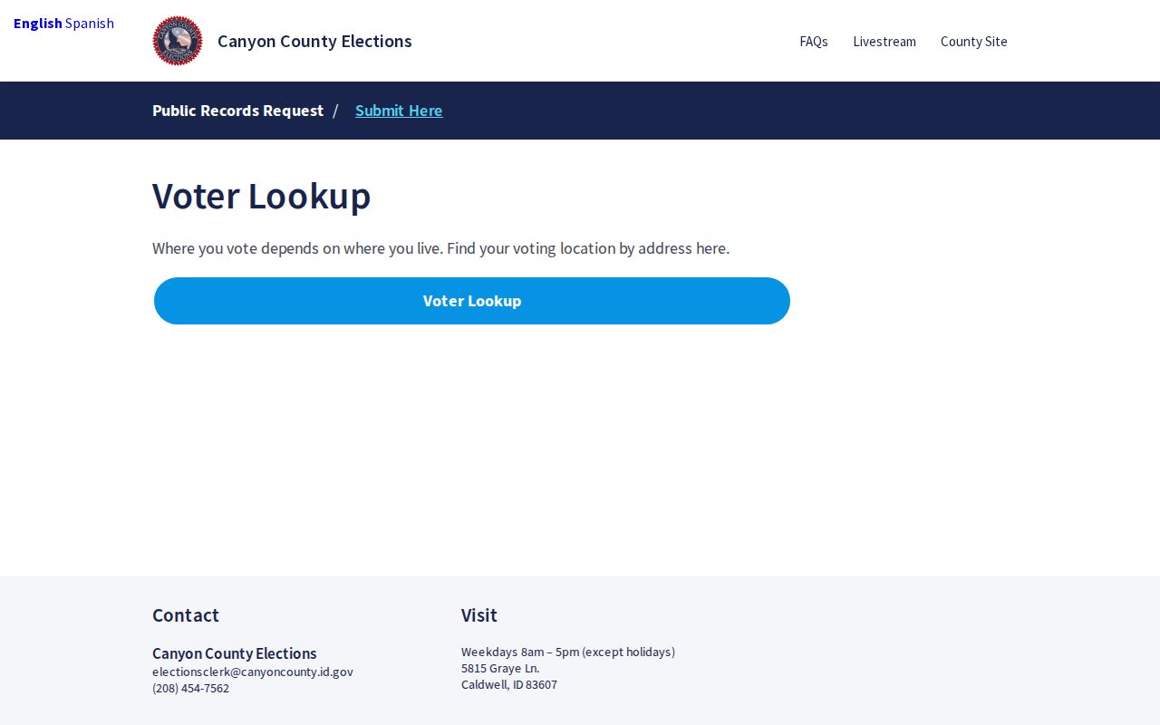
The Canyon County address and voting-location tool helps connect an address to its polling geography.
Protected voter records receive separate handling. Never try to reconstruct a protected address from nearby parcel or precinct data.
Caldwell Community Records Stay Dated
No official city-maintained HOA or neighborhood-association directory was found. That gap must remain clear. Caldwell's planning process offers a better verified civic layer: neighborhood-meeting packets may identify a project area and include sign-in fields for names and addresses. They show participation in one dated land-use matter, not all Caldwell neighbors or a lasting membership list.
| Community source | Useful block context | Important limit |
|---|---|---|
| City planning maps | Neighborhood place types, zoning, streets, subdivisions | No household roster |
| Meeting packet | Project area, notice, and dated sign-in evidence | Not association membership |
| Cleanup areas | North End, Downtown South, and event focus geography | Event boundary only |
| Business districts | Stockyard, Garden, Plaza, and downtown context | Business geography, not residents |
| Library and newspapers | Congregation, club, cemetery, and civic references | No complete official roster |
A written City Clerk request can identify a planning case by parcel, project, or date. Requests may be sent through the portal or handled by mail, email, inspection, or the relevant department. Specific wording reduces delay and avoids collecting unrelated personal details.
Caldwell's City Clerk is the citywide records custodian, while Planning, Mapping, Building, and other departments keep their own working files. A written request should name the address or parcel, the case type, and a useful date span. The city states that it responds within three business days or gives notice when more time is needed, up to ten days under Idaho Code section 74-103. For county material, use the county public-record form or contact the office that holds the parcel, plat, or election record.
Historic Caldwell Neighbors on the Block
For past neighbors, pair Sanborn block sheets with directories, telephone books, and newspapers. Sanborn maps cited for Caldwell span selected years from 1888 through 1950 and show footprints and street context, not names. SHS directory reels cover selected years from 1925–26 through 1972. Telephone volumes add verified years from 1916 through 1933.
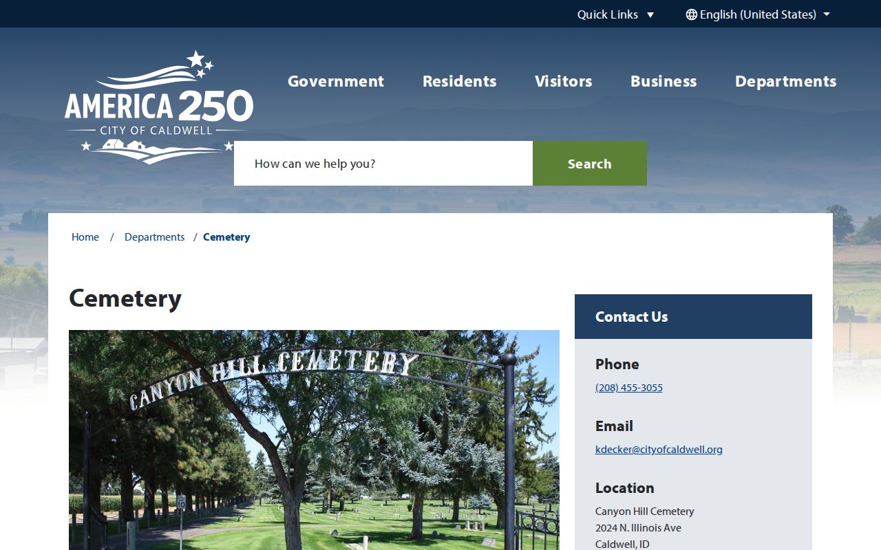
The city-owned Canyon Hill Cemetery route can also connect a family or former resident to a precise burial record.
Caldwell Public Library's Idaho Room and Omeka collections add maps, photos, rail history, places, and newspapers. Search the printed street form, initials, and nearby addresses. Old rural routes and abbreviations may place the same person differently from a modern parcel card.
Official Caldwell Records Beat Merged Profiles
Commercial neighbor tools merge parcel, voter, old directory, marketing, and other data. Their refresh date may be unclear, and one profile can blend two people with similar names. Official sources are narrower, but each has a known custodian and record purpose.
| Choice | Strength | Risk or limit |
|---|---|---|
| Official parcel, deed, or voter route | Dated source, defined fields, custodian contact | Shows only the record's purpose; exemptions apply |
| Commercial neighbor category | May combine several clues quickly | Stale addresses, merged identities, fees, unclear context |
| Library and archive source | Strong historical and community context | May require onsite use or staff help |
The dependable sequence is GIS, Assessor, Recorder or plat, lawful voter route, then library and archives. Confirm every identity at the office that created the source.
Cost is another distinction. Basic assessor access is free, while copies or archive research may carry a published charge. A commercial result may also cost money without showing the date of each underlying source. Paying for a merged profile does not make its address current. A dated official record with a parcel number, instrument, case, or volume citation is easier to check and correct.
Protect Privacy of Caldwell Neighbors
Public block research has hard limits. Renters and household members may never appear. Utility, delivery, DMV, and confidential customer records are not open block data. Idaho's Address Confidentiality Program gives qualifying survivors a substitute mailing address and protected voter handling. Never ask an assessor, clerk, or map user to reveal an ACP participant's actual location.
Map adjacency is also not social proof. A nearby parcel may be vacant, agricultural, institutional, or cut off by a right-of-way. Use a name or address only for civic curiosity, reconnecting, family work, or personal safety. Stop when a custodian redacts a field or a person asks not to be contacted.
Lawful use. Treat Caldwell neighbors with care. Do not use parcel, voter, planning, cemetery, or directory clues to watch, intimidate, stalk, or harass anyone.